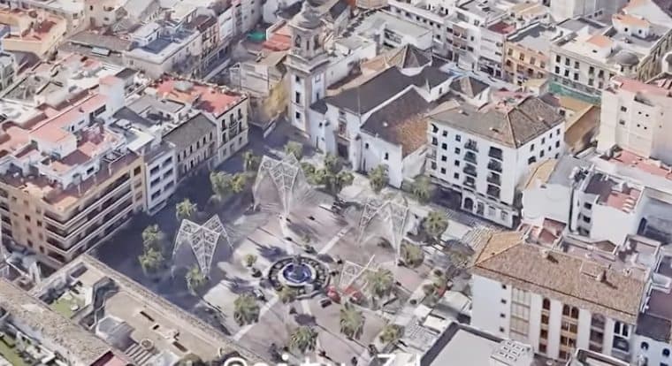
Algeciras: this is how the whole world sees it through 'Google Earth'
The entire city, the bay and even the Rock is captured by this revolutionary Google technique that has spread on social networks through an incredible video shared on social networks.
To the south of southern Spain is the Campo de Gibraltar, and among its jewels, Algeciras, the city of Paco de Lucía, a maritime town that stands out for its large port and its logistical capacity. Now, thanks to the advancement of technology and tools such as 'Google Earth', the whole world can get to know it with a single click.
The entire city, the bay and even the Rock is captured by this revolutionary Google technique that has spread on networks through an incredible video shared on social networks. On this occasion, @city3d_, an account managed by Luis Comte (architect and city designer), has been the creator of this video that has been so liked by his million followers.
With the soundtrack of the artist from Algeciras and his mythical song 'Entre dos aguas', the video covers the most significant points of the city, from the Plaza Alta and the Church of Nuestra Señora de la Palma, as well as its large María Cristina Park.

Algeciras: this is how the whole world sees it through 'Google Earth'
Algeciras is a municipality of Spain belonging to the province of Cádiz. It's port is one of the largest in Europe. The surrounding metro area also includes the municipalities of Los Barrios, La Línea de la Concepción, Castellar de la Frontera, Jimena de la Frontera, San Roque and Tarifa.
